More about
St Mark
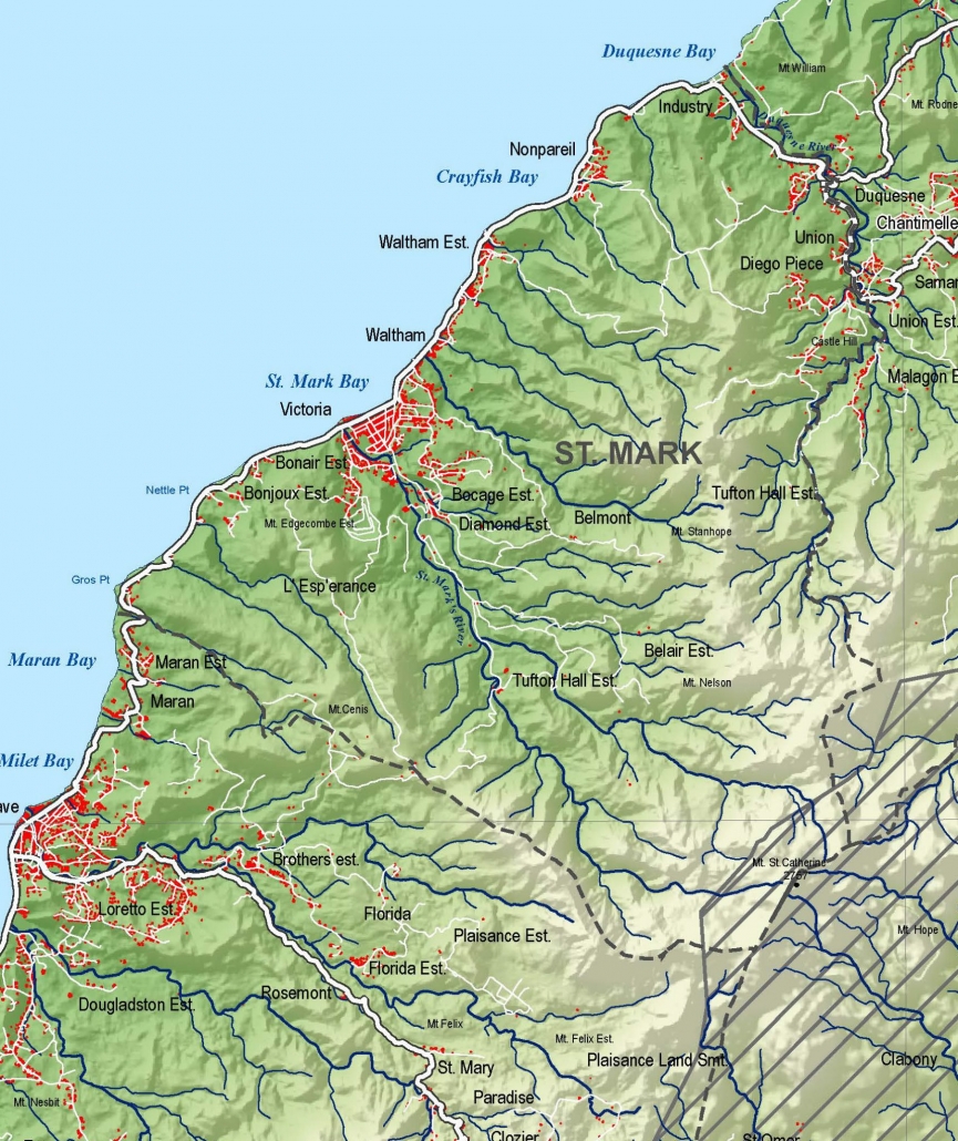
Welcome to St Mark (23 km2/9 mi2), Grenada’s smallest parish that’s sandwiched between St John and St Patrick parishes.
Parts of St Mark were occupied by at least three Kalinago/Carib carbets/villages before the invasion of the French who settled in the area in the 1670s after expelling the Kalinago in bloody confrontations.
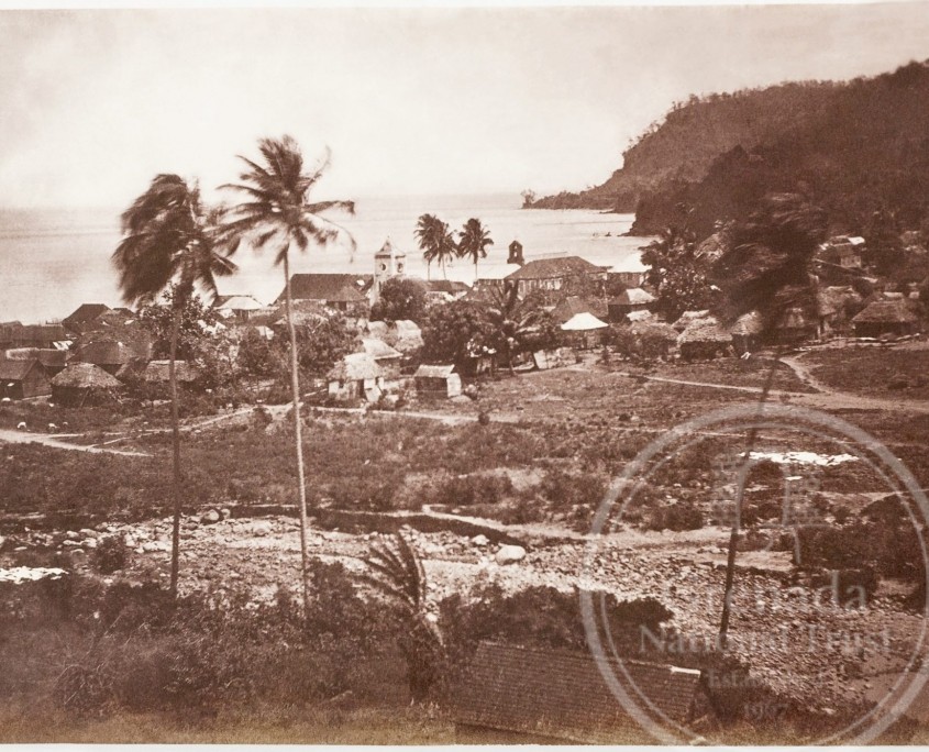
The Dominican fathers established a chapel there c1721, but the parish of Sainte Rose was not officially created until 1741. Its population (of approximately 4000 people) is concentrated in the main town and port of Victoria and several villages scattered along the coast at Gros Point, Nettle Point, Bonair, Waltham, Nonpareil and Industry, or inland at Diego Piece, Resource, Castle Hill and Union.
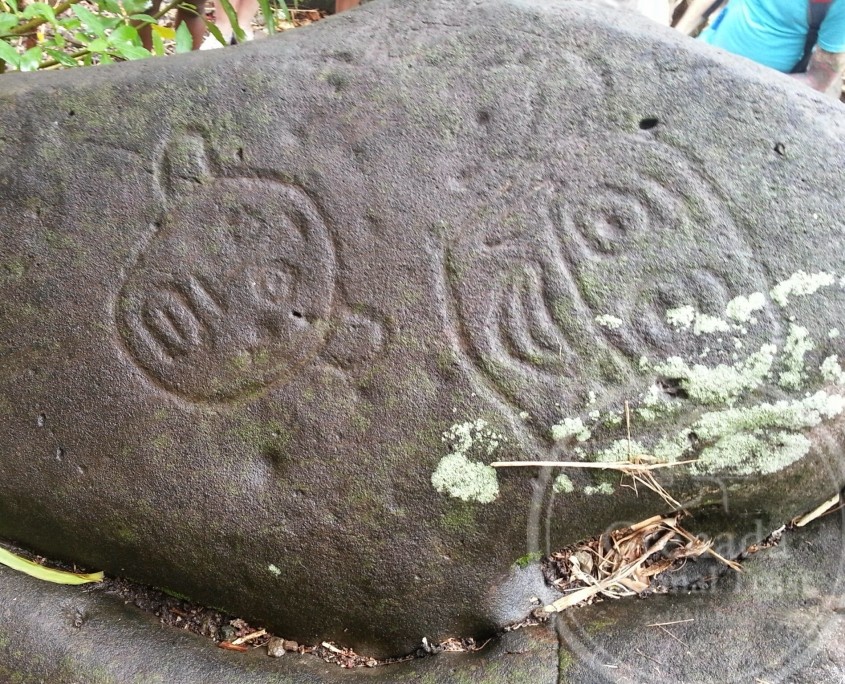
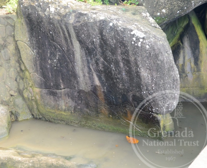
The parish has a long and rich history, illustrated by several Amerindian petroglyphs at Victoria, Waltham and Duquesne, and historic Kalinago carbetsat Nettle Point, Victoria and Duquesne.
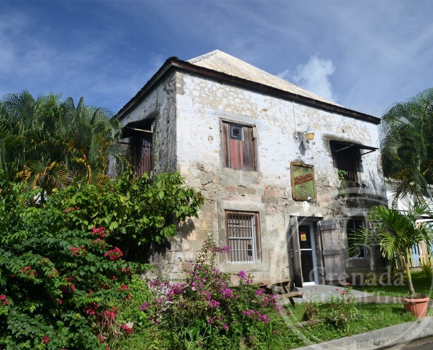
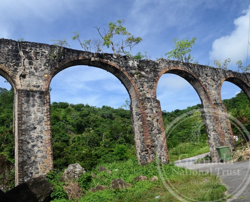
Its agriculture dates to the 18thcentury as part of the plantation-slavery complex that dominated the island, with one of the oldest estates at Diamond. It boasted several coffee (in the late-1700s) and cocoa estates, and even a few sugar plantations, with ruins of sugar works at estates like Diamond.
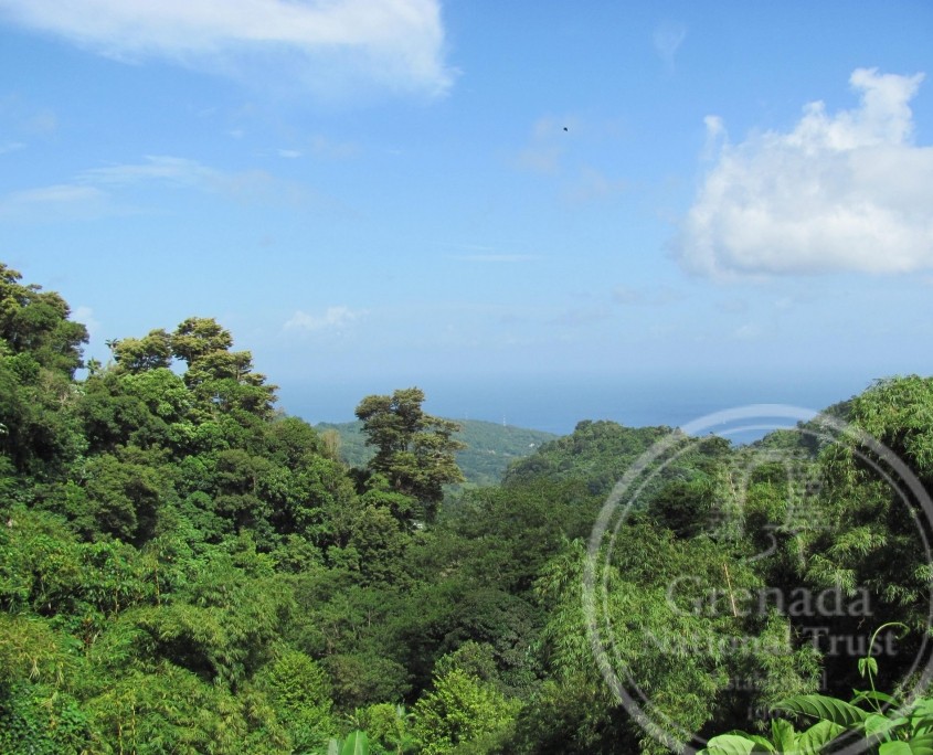
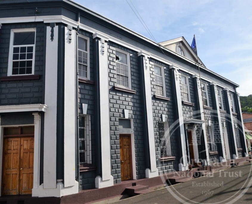
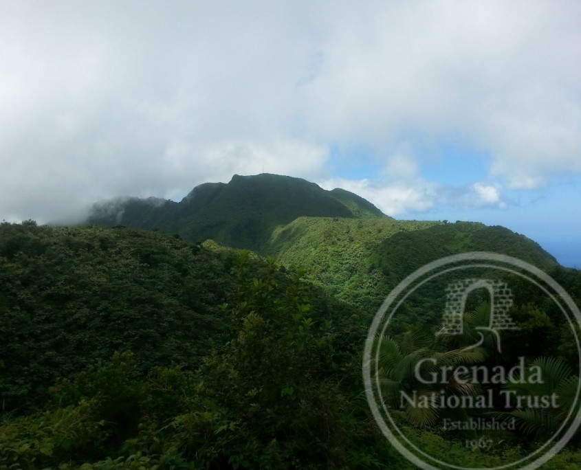
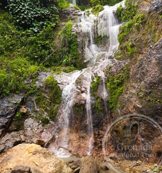
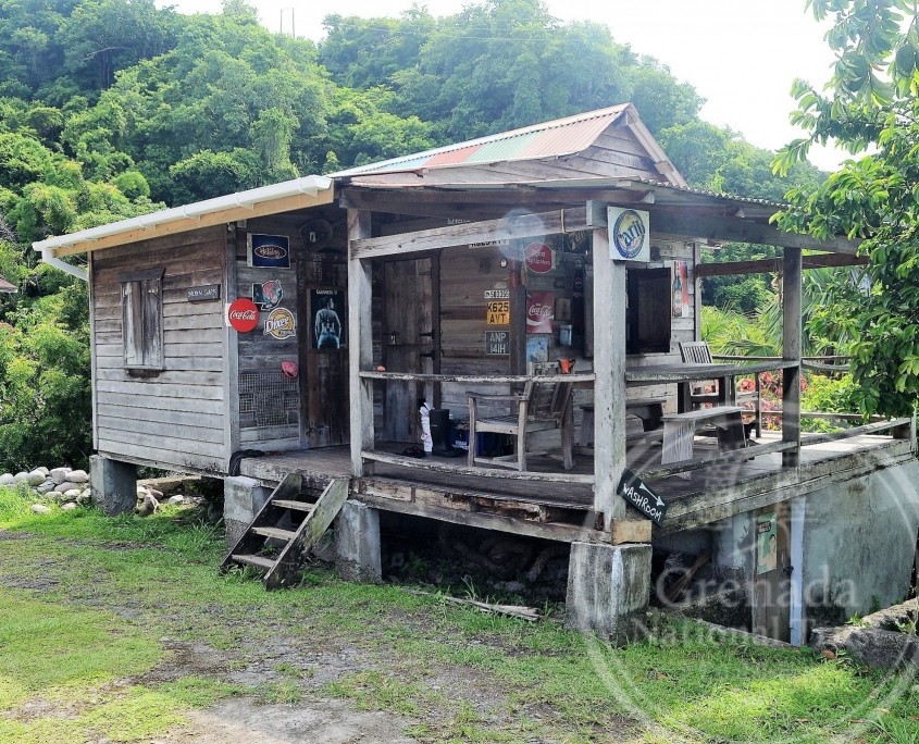
A glimpse of its historic architecture can be seen in the town of Victoria, much of it dating to the mid- to late-1800s and illustrated in its churches and estate buildings. Enjoy the sweet taste of its tree-to-bar chocolate at Diamond and Crayfish Bay, or its scenic and enchanting landscape that offers challenging treks through its lush tropical rain forests to the cascades of Tufton Hall Waterfall, the warmth of the geothermal Hapsack Springs, and the heights of Mt St Catherine. And if you are lucky you might experience the annual St Mark’s Day Festival in April, or the “Sunset City Food Festival” on the last Saturday of each month. Illuminated by the daily glow of the setting sun, St Mark is affectionately known as the “Sunset Parish,” and has much to offer the visitor despite its small size.
The
Map
St Mark, showing its boundaries (dashed lines), population centers (red), rivers/ streams (blue), road network (white), prominent villages (named), with its high points at Mt St Catherine in the southeast, and the St Mark’s Mountains bordering St Andrew in the east

