More about
St Patrick
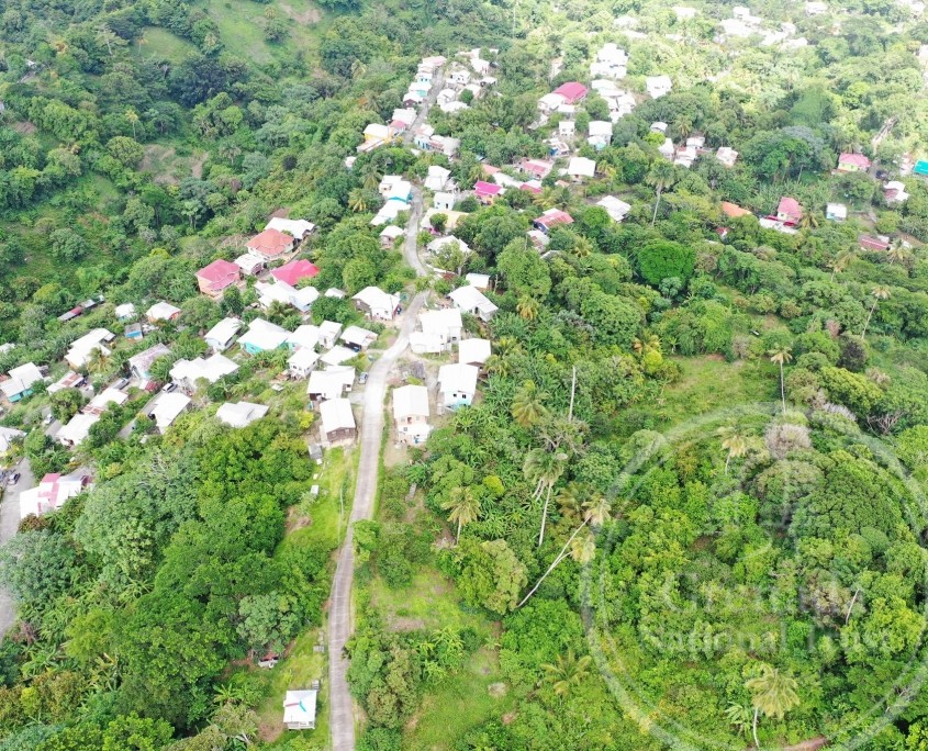
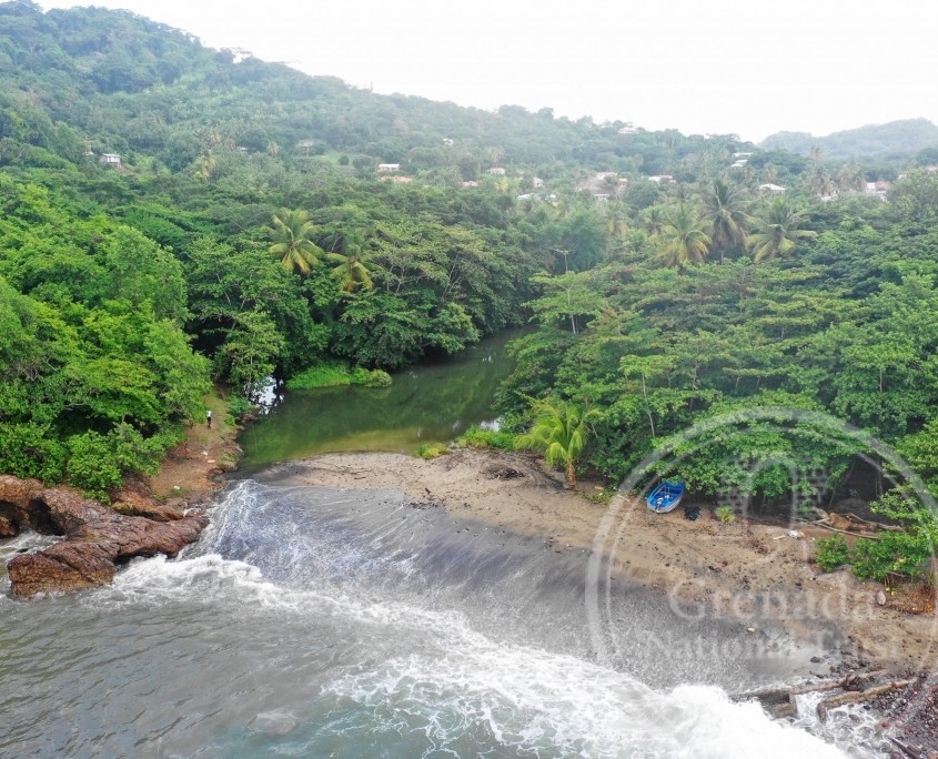
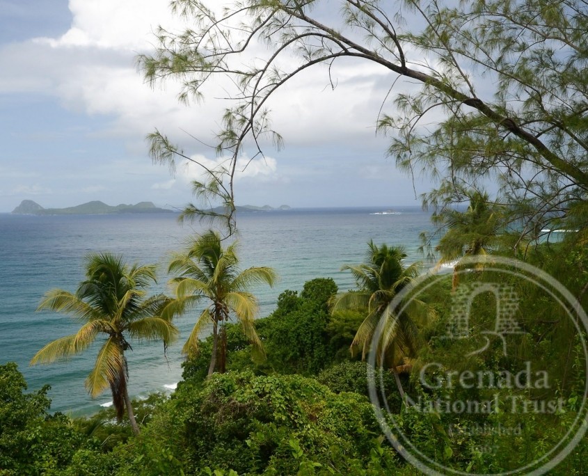
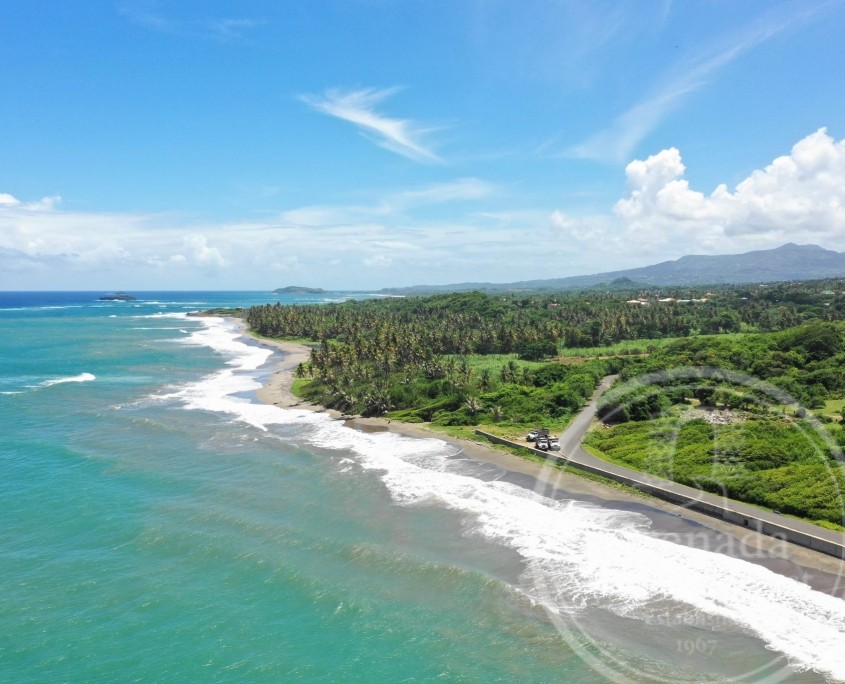
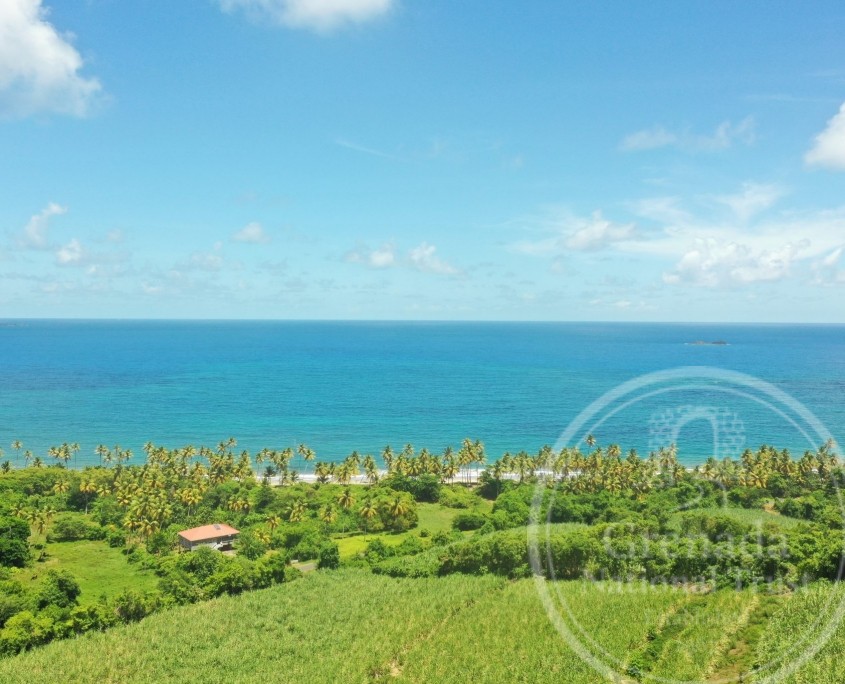
Welcome to St Patrick (43 km2/16.5 mi2), the third largest and the most northerly of Grenada’s parishes often referred to as the “Historical Parish” due to the perceived historicity of the area, stemming most probably from the Kalinago massacre at Leapers’ Hill. Its population (of approximately 10,000 people) is concentrated in the main town (and port) of Sauteurs and several inland villages at Chantimelle, Samaritan, Mt Craven, Mt Rich, Montreuil, Rose Hill, Hermitage, Belmont and Snell Hall, and a few scattered along the Atlantic coast at Levera, River Sallée and River Antoine.
The parish has a rich and long history, illustrated by the several important Indigenous archaeological sites at Mt Rich and Savanne Suazey, and historic Carib/Kalinago carbetsor villages at Savanne Suazey, Levera and Sauteurs.
By the late 1600s French settlers had invaded and displaced the Kalinago, creating the parish of Notre Dame du Bon Secoursat Sauteurs by 1718. Its plantation agriculture dates to slavery, with numerous coffee (in the 1700s) and cocoa estates, and especially sugar plantations powered by watermills and windmills, with ruins of sugar works at Mount Alexander, Belmont, Hermitage and River Sallée.
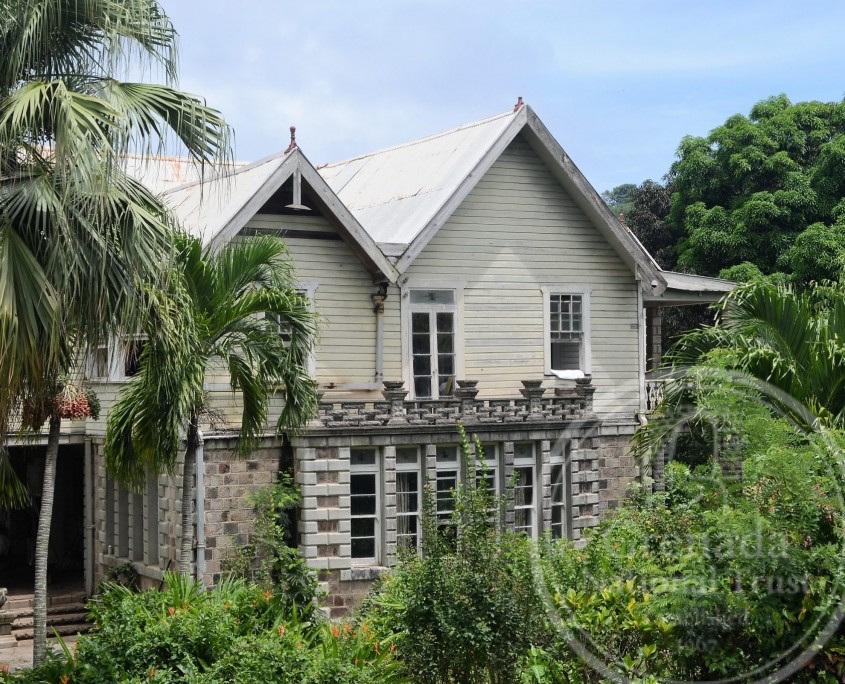
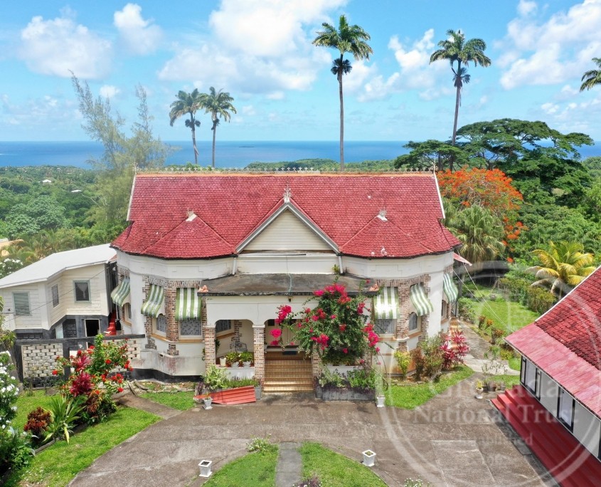
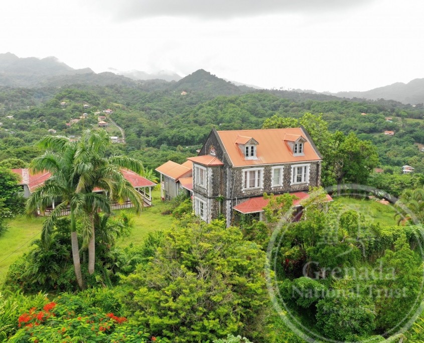
A glimpse of its historic architecture can be seen in the town of Sauteurs and on several estates, much of it dating to the late-1800s and illustrated in the Anglican and Catholic Churches, and a few estate houses.
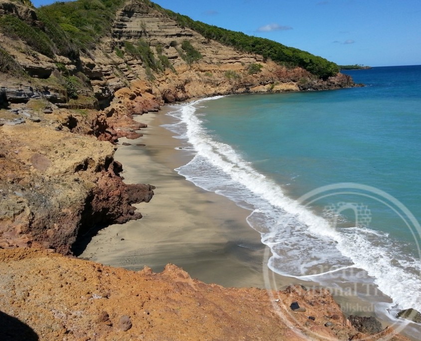
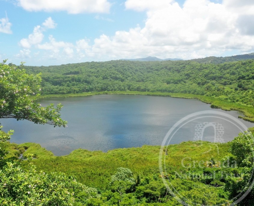
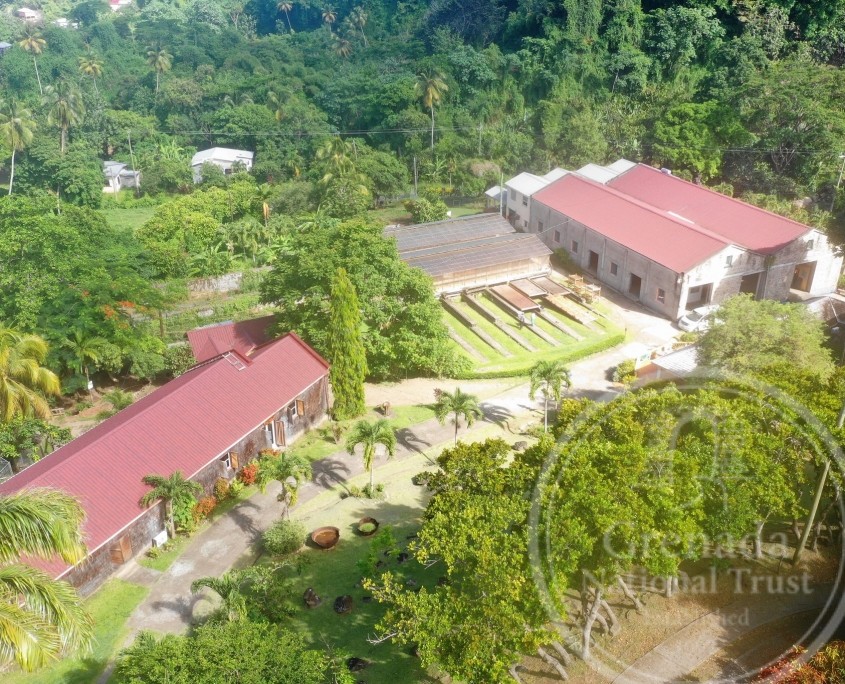
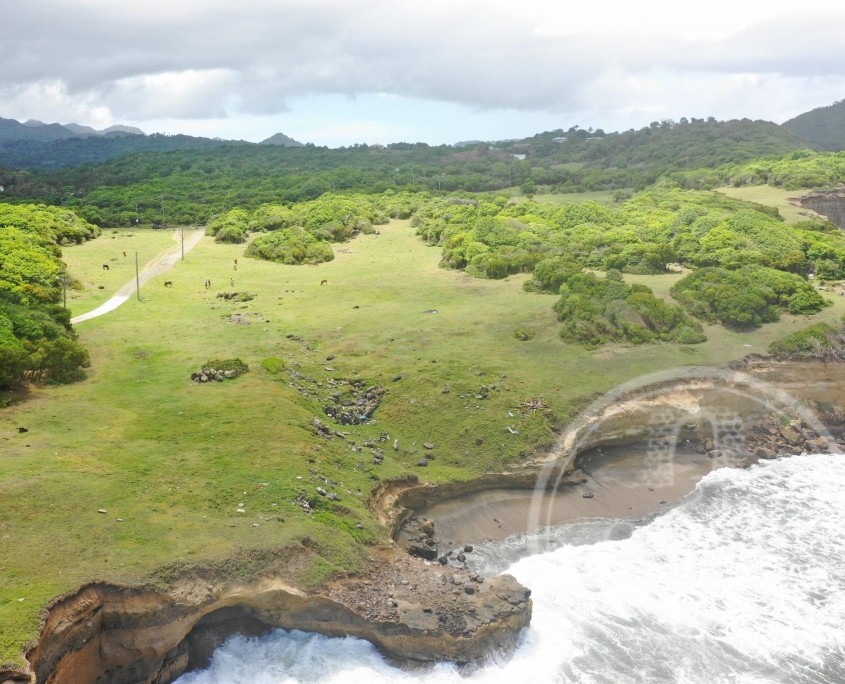
The northern parish has much to offer with its beautiful and diverse natural and cultural landscapes like Levera National Park and Lake Antoine, the magnificent view from Welcome Stone at Levera Hill, turtle watching at Levera and Bathway Beaches, the site of conscience at Leapers’ Hill or Caribs’ Leap, Amerindian petroglyphs or rock art at Mount Rich, “tree to bar” chocolate factories at Hermitage (Grenada Chocolate Company) and Belmont Estate, and the refreshing hot springs at River Sallée.
The St Patrick’s Day Fiesta, held annually in March, was begun in 1986 to highlight the district’s natural and cultural uniqueness with a variety of activities, including arts and crafts, agricultural and cultural displays, sporting activities and entertainment that enliven this sleepy rural town on the northernmost coast.
The
Map
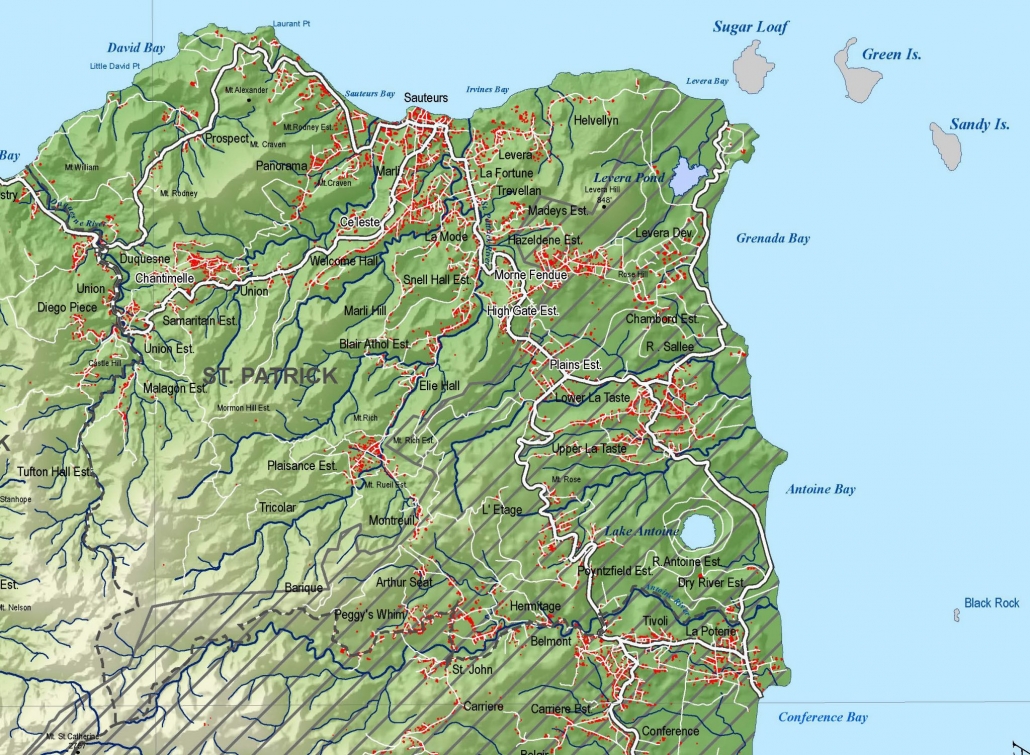
Map of St Patrick’s parish, showing its boundaries (dashed lines), population centers (red), rivers/ streams (blue), road network (white), prominent villages (named), with its two lakes at Levera Pond and Lake Antoine, and offshore islets of Sugar Loaf, Green and Sandy Islands
